blah blah blah
Whiteface and Piper Mountains
Length: 5.6 miles out-and-backDifficulty (click for info): Moderate
Elevation Gain: 1140 feet (+250 feet on return)
Rating (click for info): 6/10
Elevation: 2044' (Piper) and 1670' (Whiteface)
Prominence: 244' (Piper) and 220' (Whiteface)
Driving Directions:
Trailhead and parking area are at the end of Belknap Mountain Road in Gilford, NH. To get there, take Hoyt Road from Rt. 11A, 1.6 miles northeast of its junction with Rt. 3. Drive 1.8 miles to the end of Hoyt Road, then turn right onto Belknap Mountain Road. Continue 1.6 miles, turn left to stay on the road, then continue 0.4 miles to the end of the road. Park on the roadside.
About the Hike:
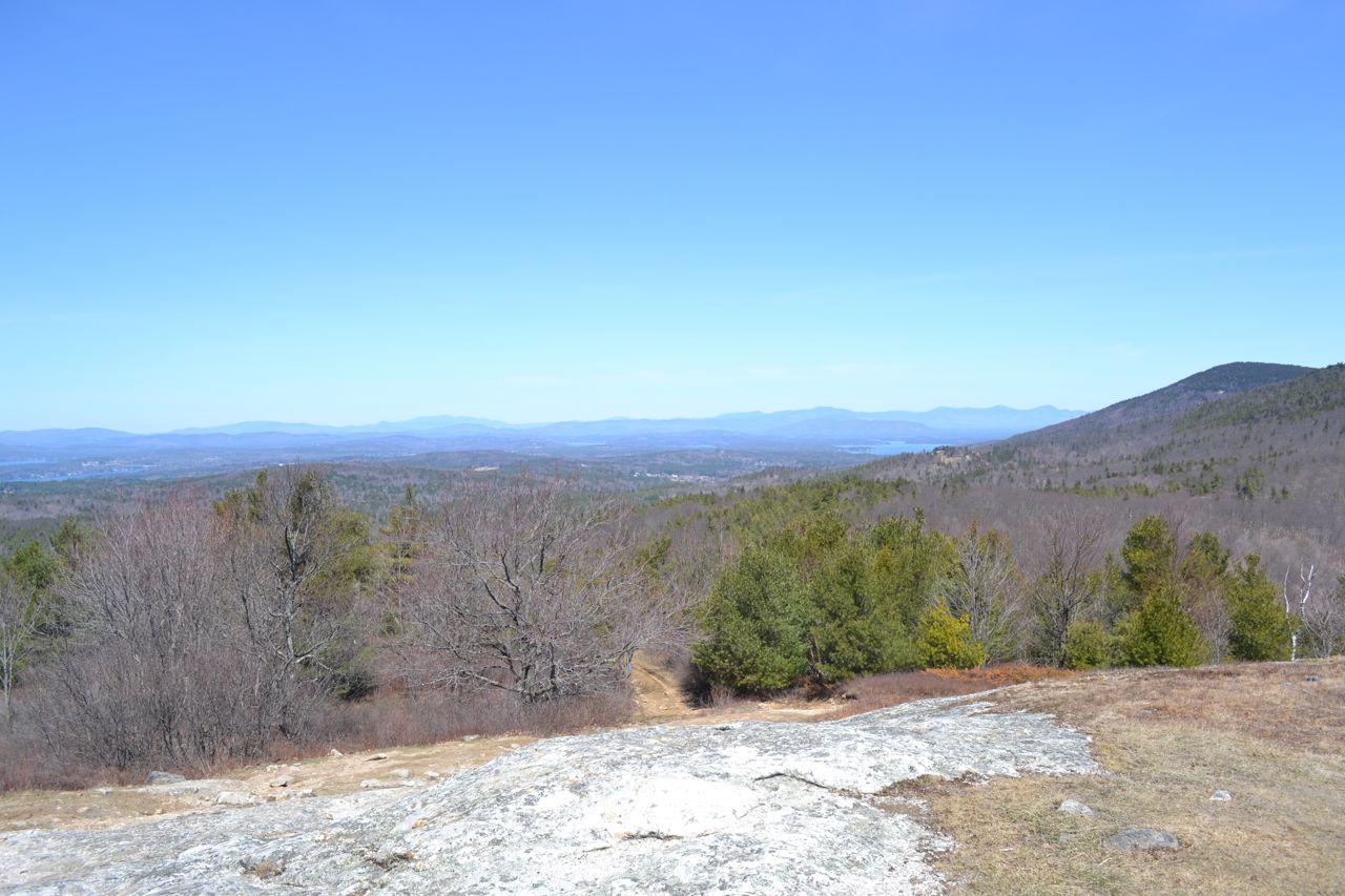
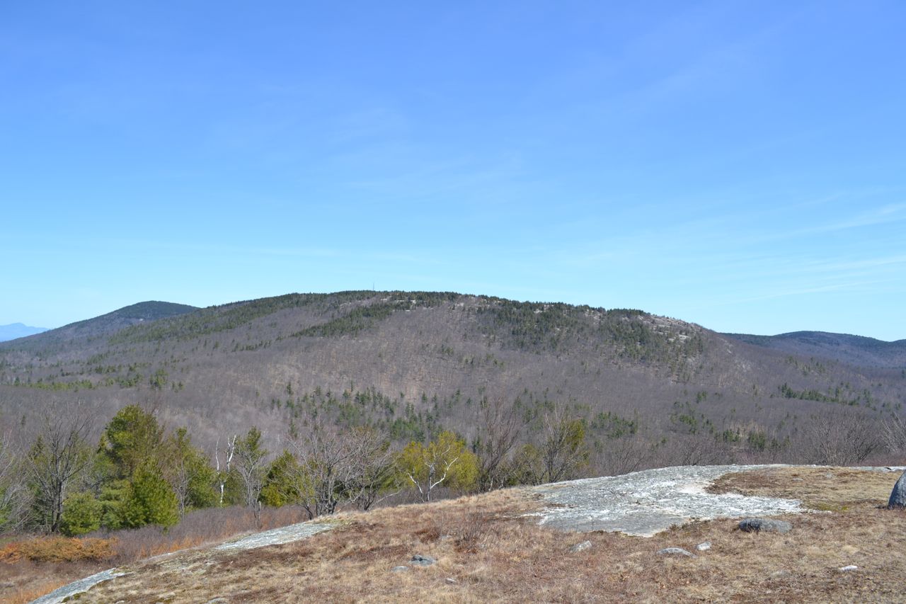
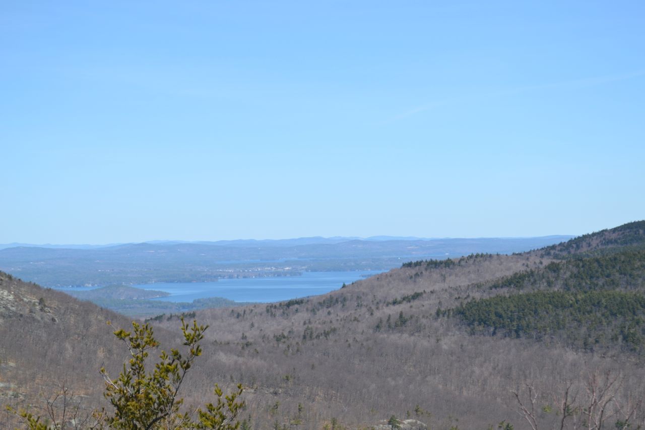
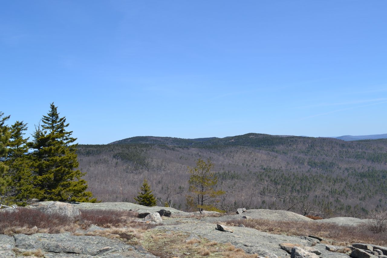
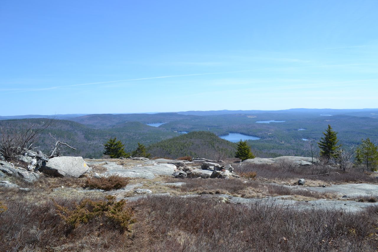
South of the ever-popular Belknap Mountain lies Piper Mountain, a smaller and quieter place with good views. It offers a glimpse of Lake Winnipesaukee from near its summit and wider views to the east from the Vista Trail ledge. Whiteface Mountain is a low summit at the south end of the Belknap Range. From a grassy clearing on top, it has a view which is of the best quality for a mountain under 2000 feet. The trail starts on a gravel road next to a house. Walk down the gravel extension of the road, passing one house on the left. At the end of this house's yard, turn left onto the Whiteface Mountain Trail at a sign for "Piper/Whiteface Trail". After leaving the house behind, the trail passes an LRCT kiosk. It now climbs easily through the forest, soon going by the remains of a cabin and crossing a small brook. It ascends for a total of 0.7 miles to the top of the ridge between Piper and Whiteface Mountains, where it reaches a trail junction. Turn right here to head to Whiteface (skip down to the next paragraph to visit Piper first). Crossing a stone wall, the trail descends, going through a field and joining an ATV trail (bear left). The ATV Trail follows the ridge top up and down for half a mile, then begins a short climb to the top. The large clearing around the summit provides expansive views to the west and north, encompassing the Sandwich Range and parts of Squam Lake. Mt. Cardigan can be seen to the west, along with Stinson Mountain and Carr Mountain. The view extends as far as the Kinsman Range and Franconia Range to the northwest. The nearby mountains of the Belknap Range are seen nearby to the northeast, including Piper Mountain, Mt. Mack, and Straightback Mountain. The summit of Whiteface Mountain itself provides more limited views to the south and west, including Mt. Kearsarge, Mt. Monadnock, and the Uncanoonuc Mountains.
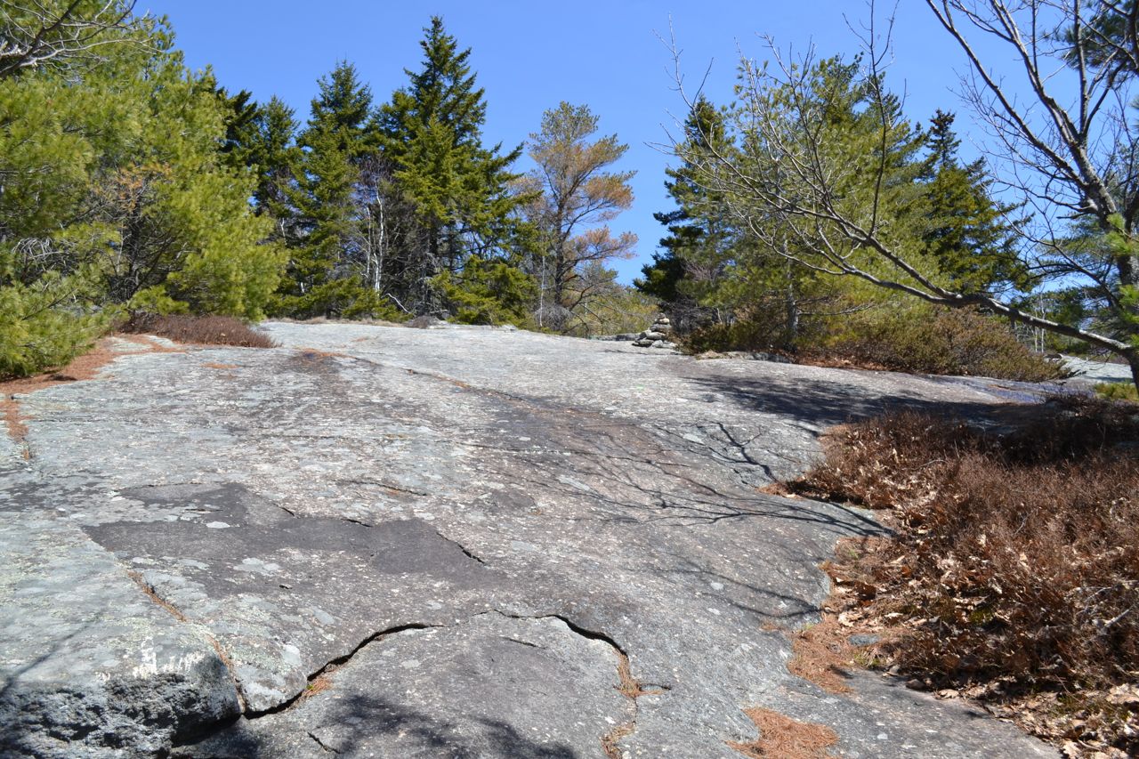
To continue to Piper Mountain, return to the junction and keep going onto Piper-Whiteface Link as it continues climbing gradually though the forest, following bright green blazes. Soon, the trail enters open ledges. As you climb, look back for views to the south and west. Just before the trail ends, it leaves the rock and heads back into the forest. In 0.6 miles from the trail junction, Vista Trail turns right. For now, bear left to continue along the trail to the summit for a short distance to reach a good viewpoint toward neighboring Belknap Mountain and part of Lake Winnipesaukee. The viewless summit is just a short walk further up the trail. Back at the junction, take the Vista Trail to get to the best viewpoint. This trail meanders 0.4 miles down over expansive ledges to an east-facing viewpoint, identified by a rock bench. Here, you look over the eastern Belknap Range and nearby lakes. Swett Mountain Trail continues straight to access Swett Mountain. Turn around and return the way you came.
Printable directions page